Wisconsin Waterfalls Map
The state of Wisconsin is home to several spectacular waterfalls for you to enjoy. With having so many lakes and rivers all throughout the state, it’s no surprise that you can find cascading falls not only in the wilderness during a hike, but also in parks, towns, and places where water operates quarries. Some of the bigger waterfalls are near the border of Michigan where popular tourist attractions such as Superior Falls is located. Others you may find in royal gorges like Brownstone Falls where the views are second to none. The next time you visit Wisconsin, be sure to put one or two waterfalls on your list of places to visit. You won’t be dissapointed!
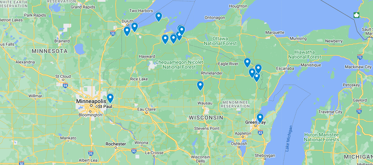
You’ll see from the map above that many of Wisconsin’s waterfalls lie on the border of Michigan and Minnesota where most of the waterways lie. The national and state parks have many hidden water gems all throughout the area and it isn’t hard to stumble upon a falls as you enjoy a day hike in the wilderness. We do recommend carrying a map or downloading one onto your phone as you will lose cell reception once you hit most trailheads. Luckily there are signs posted to help guide you and the trails are on the easy to moderate side for most destinations, but it’s never a bad idea to have a map for situations such as darkness where the trail isn’t too easy to see.
Listed out Waterfalls in Wisconsin Map
Amnicon Falls State Park
Big Manitou Falls
Cascade Falls (Osceola)
Copper Falls State Park
Dave’s Falls
Grandfather Falls
Superior Falls
Big Smokey Falls
Brownstone Falls
Eighteen Foot Falls
Fonferek Falls
Foster Falls
Houghton Falls
Lasalle Falls
Little Manitou Falls
Long Slide Falls
Lost Creek Falls
Morgan Falls
Peterson Falls
Piers Gorge
Red Granite Falls
Saxon Falls
Siskiwit Falls
Snake Pit Falls
Wequiock Falls
Willow Falls
 Georgia Waterfalls Map