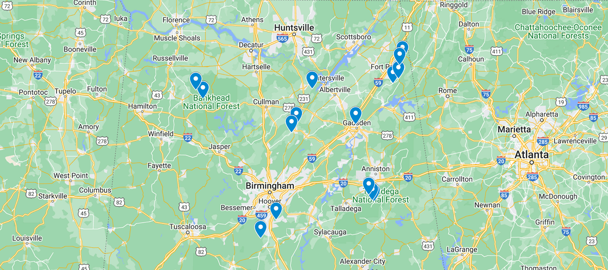
Alabama Waterfalls Map
During the springs thru fall months, many locals and tourists take advantage of Alabama’s beautiful landscape to spend a day outdoors. From a nice stroll through one of their state parks to spending a day at a waterpark, there are countless ways to enjoy a day of fun. With over over 77 thousands miles of rivers, it’s no wonder there are some great waterfalls to discover. Below in the map we will list some of the most popular falls to visit, but during your adventures you will most likely find a few hidden gems that only a handful of people know about. So get out there and let us know what you find!
On the map you’ll notice that most waterfalls reside in central and northern Alabama. Birmingham and Huntsville are the two more populated cities that are closest to these water destinations if you want to enjoy a day of adventure. However, what the map doesn’t show is that the waterfalls are all fairly accessibly with just a short hike once you have parked. There is ample camping around the state which takes travel times out of the equation, but if you are trying to make a day trip to reach a waterfall, use the map below to figure out which waterfalls don’t require a lot of time hiking to. We will continue to update the map and provide more information on each falls location so be sure to check back again. Happy Exploring!
Listed out Waterfalls in NC Map
Caney Creek Falls Trail
Cheaha Falls
DeSoto Falls
Devil’s Den Falls
Falling Rock Falls Trail Head
Graces High Falls
Indian Falls
Kinlock Falls
Little River Falls
Mardis Mill Falls
Nectar Falls
Noccalula Falls
Peavine Falls
Salt Creek Falls
Thompson Falls
 North Carolina Waterfalls Map