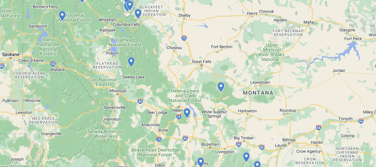
Montana Waterfalls Map
As the fourth largest state in America and home to millions of acres of wilderness, there are countless waterfalls just waiting to be discovered on your next adventure. Although the eastern side of Montana is more open and flat plains, the western region is where you will find Yellowstone Park, Glacier National Park, and a conservation agreement with Canada on preserving our forests and wildlife. Due to this, the snow run off each year creates some of the most breathtaking views of falls and cascading waters you will ever see.
Listed out Waterfalls in New Hampshire Map
Apikuni Falls, Glacier National Park
Baring Falls, Glacier National Park
Calamity & Sentinel Falls, Beartooth Mountains, Carbon County
Crow Creek Falls, Broadwater County
Florence Falls, Glacier National Park
Holland Falls, Missoula
Kootenai Falls, near Libby
Memorial Falls, Neihart
Ousel Falls, Gallatin County
Pinkham Creek Falls, Lincoln County
Ptarmigan Falls, Glacier National Park
Redrock Falls, Glacier National Park
Running Eagle Falls, Glacier National Park
Virginia and St. Mary’s Falls, Glacier National Park
Woodbine Falls, Stillwater County
 New Hampshire Waterfalls Map